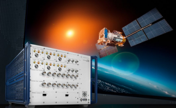
Rohde & Schwarz highlights its unique CMX500 one-box tester tailored for NTN testing at...
CMX500 NTN Tester:
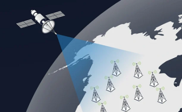
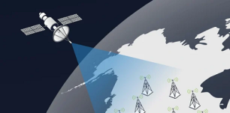
Rohde & Schwarz has expanded the capabilities of its CMX500 radio communication tester to cover all non-terrestrial network (NTN) technologies, making it a unique and comprehensive solution that empowers the entire ecosystem...
VIAVI Highlights Importance of Trusted Partner Collaboration in AI Era and Outlines Core Solution...
MWC Barcelona 2026:
VIAVI Solutions Inc. (VIAVI) has announced its demonstration lineup for Mobile World Congress (MWC) Barcelona 2026, which takes place March 2-5. At VIAVI's booth 5B18, VIAVI will showcase its latest network testing, automation and...
Trimble Delivers Lane-Level Precision to Lucid Gravity Electric Vehicles
Trimble announced that its cutting-edge positioning technology will supply crucial data used by the navigation and driver assistance systems in the new Lucid Gravity. By integrating Trimble RTX and ProPoint Go technology, Lucid Gravity becomes...
Mouser Drives Electronic Design Excellence with Motor Control Resource Hub for Engineers
Motor Control Resource Hub:
Mouser Electronics, Inc., is helping engineers stay ahead in motor control design with its online motor control resource center. Advanced motor control seeks to precisely regulate a motor's speed, torque, and...
Emesent Launches the Emesent GX1, an All-in-One SLAM LiDAR, RTK and 360° Imagery Scanner
Emesent GX1:
Emesent, a global leader in autonomous mapping technology, launches the Emesent GX1, the world's most accurate integrated Simultaneous Localization and Mapping (SLAM) and Real-Time Kinematic (RTK) scanner.
The product marks a significant breakthrough and industry first, by achieving 5-10mm global accuracy to deliver unparalleled precision for topographic...
Voyis and EIVA Introduce Geo-Located Camera-Based Mapping to Voyis VSLAM Powered by EIVA NaviSuite
Voyis and EIVA, both part of the Covelya Group, announced a major update to Voyis VSLAM Powered by EIVA NaviSuite. This technical advancement brings absolute geo-located mapping to real-time camera-based 3D reconstruction for subsea inspection and metrology. This new...


