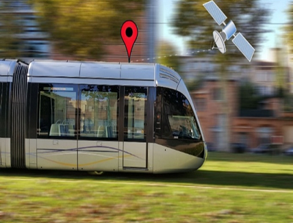
As is already the case in Prague, operators of light railway networks, both elevated and underground, are modernising their operating facilities and looking for innovative solutions to reduce their investments and operating costs and to promote the interoperability of their services with other modes of locally available transport.
Reliable, accurate and available end-to-end geolocation opens up new opportunities for urban mobility. Public transport operators rely on the expertise of specialized independent laboratories such as GNSS testing laboratories, to assist them with project management.
Controlled operating costs, optimised maintenance
A universal satellite geolocation solution offers the prospect of harmonious intermodality, with in-service rolling stock constantly adapting its speed in order to connect with other means of urban transport. Geolocation enables them to make better use of the power available from the catenaries.
In addition, the accuracy provided by GNSS facilitates storage at the depot and enables the installation of equipment for predictive maintenance based on repeated measurements or observations at identical locations.
Enhanced travel experience
With better control of travel times, the traveller’s experience improves. Ultimately, public transport will succeed in federating the deployment of cross-platform solutions – including carpooling and carsharing or more individual forms of mobility such as bicycles, scooters – and thus dematerialize ticketing, in particular for better management of passenger flows at high-capacity hubs.
By reducing idle time and waiting times, multimodal journeys will be smoother for users.
Reliable, accurate and affordable GNSS technology
High-performance GNSS receivers operating in urban environments, made possible by the deployment of the GALILEO constellation, enables the low-risk implementation of all sorts of solutions.
Due to rapidly evolving technology, work on autonomous vehicles is providing the railway sector with a library of high-tech components (receivers, antennas, sensors, etc.) at very affordable costs.
These developments are gradually and sustainably transforming the architectures of embedded systems. High-precision geolocation systems (providing an accuracy of a few centimetres), like telecommunication services, are becoming a common resource for all on-board networked applications, such as those defined by standard EN13149 (ITxPT). Operators and integrators are thus able to implement new services on board vehicles and have permanent position measurements in the same way as for SAE-IV systems.
Regional experimentation
Supported by DIRECCTE* Occitanie, the GUIDE-GNSS geolocation testing laboratory has carried out numerous feasibility tests with two experiments lasting several weeks on board trams. The first took place at the end of 2019 on 81 km of tracks in Bordeaux metropolis (operator KEOLIS), the second at the end of 2020 on 17 km of tracks in Toulouse (operator TISSEO).
The results are nothing short of excellent, with sub-decimetric precision for almost all of the itineraries. The unit price of a GNSS terminal starts at a few hundred euros.
This GNSS technology is already widely deployed in the transport sectors. General access to high-precision services, not only for public transport, is revolutionising a multitude of often unexpected uses such as access authorisations to car pool areas, minute parking or route suggestions to avoid traffic lights.


